Uncategorized
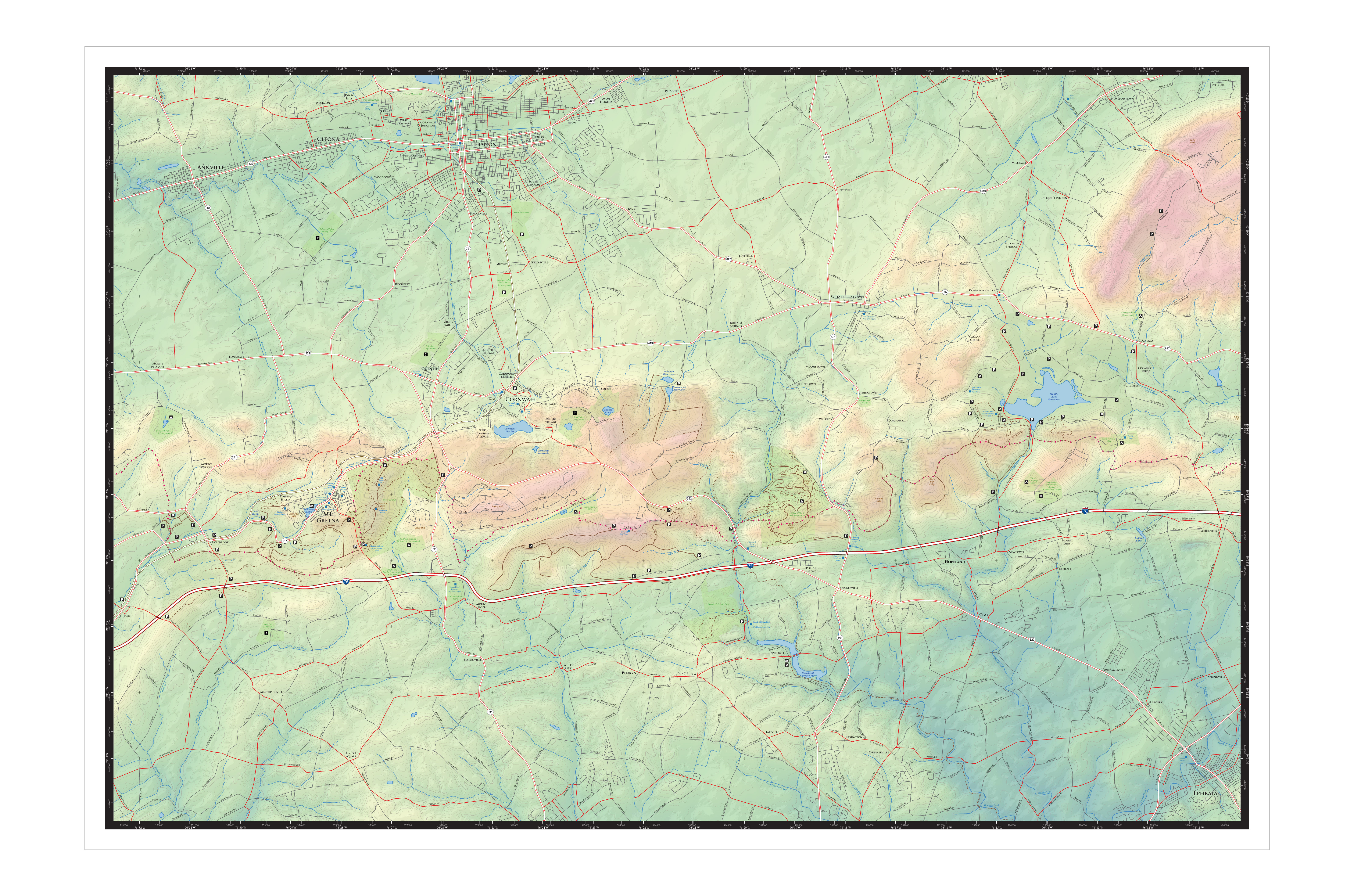
Shaded Relief
More colorful, still mostly legible, and an excuse to try out Terrain Sculptor.
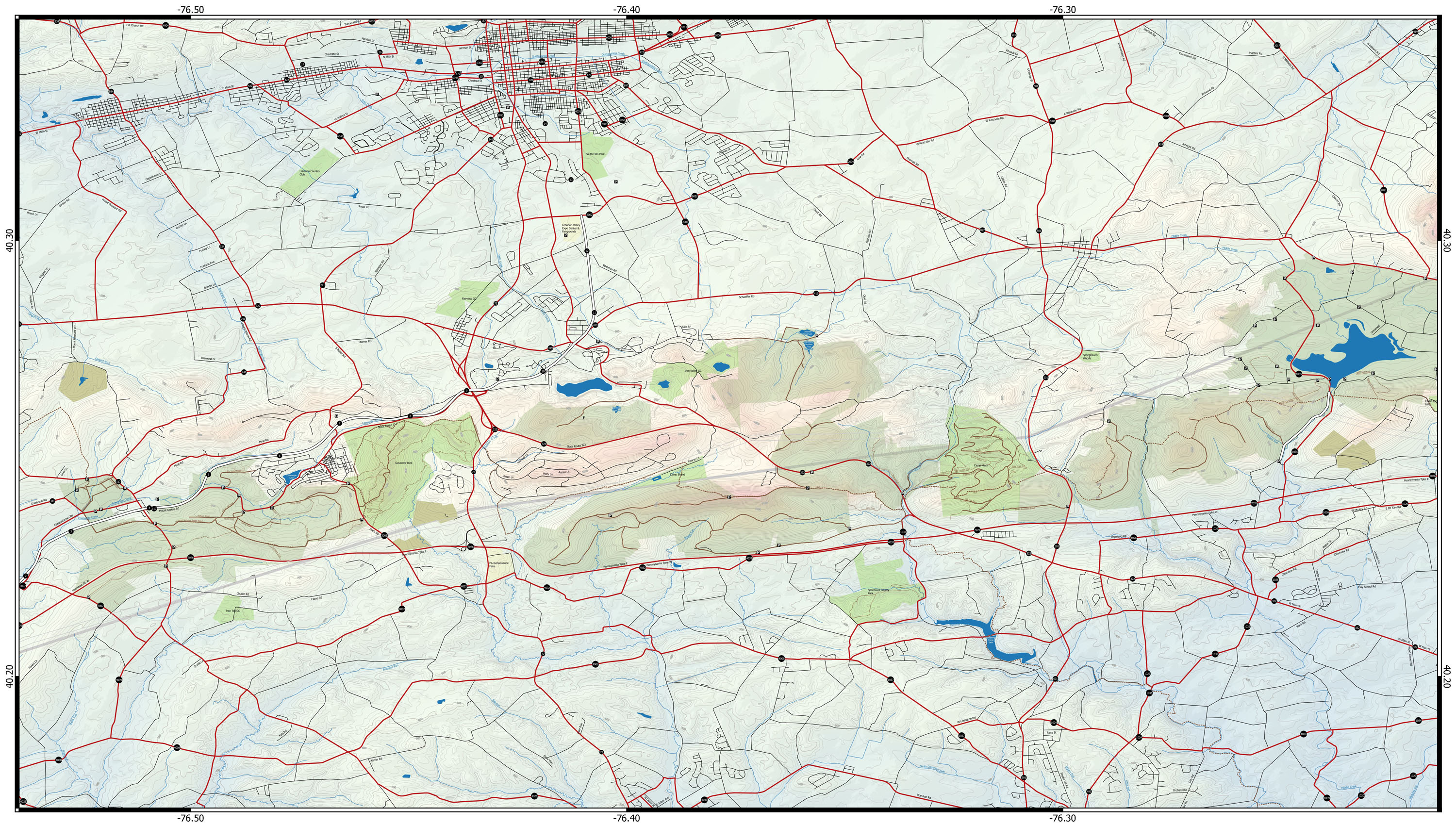
GeoPDF working
Data verification should be easier now. Although less straightforward than in ArcGIS, it is possible to create GeoPDF’s from QGIS. First export a GeoTIFF with worldfile, then use the raster conversion tool and convert to GeoPDF. Works with Avenza PDF Maps.
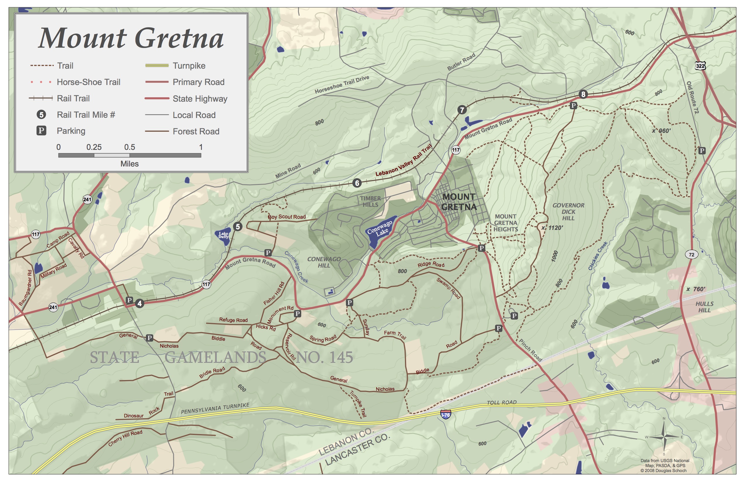
Furnace Hills Labeled
Added some labels. Almost ready for more field testing.
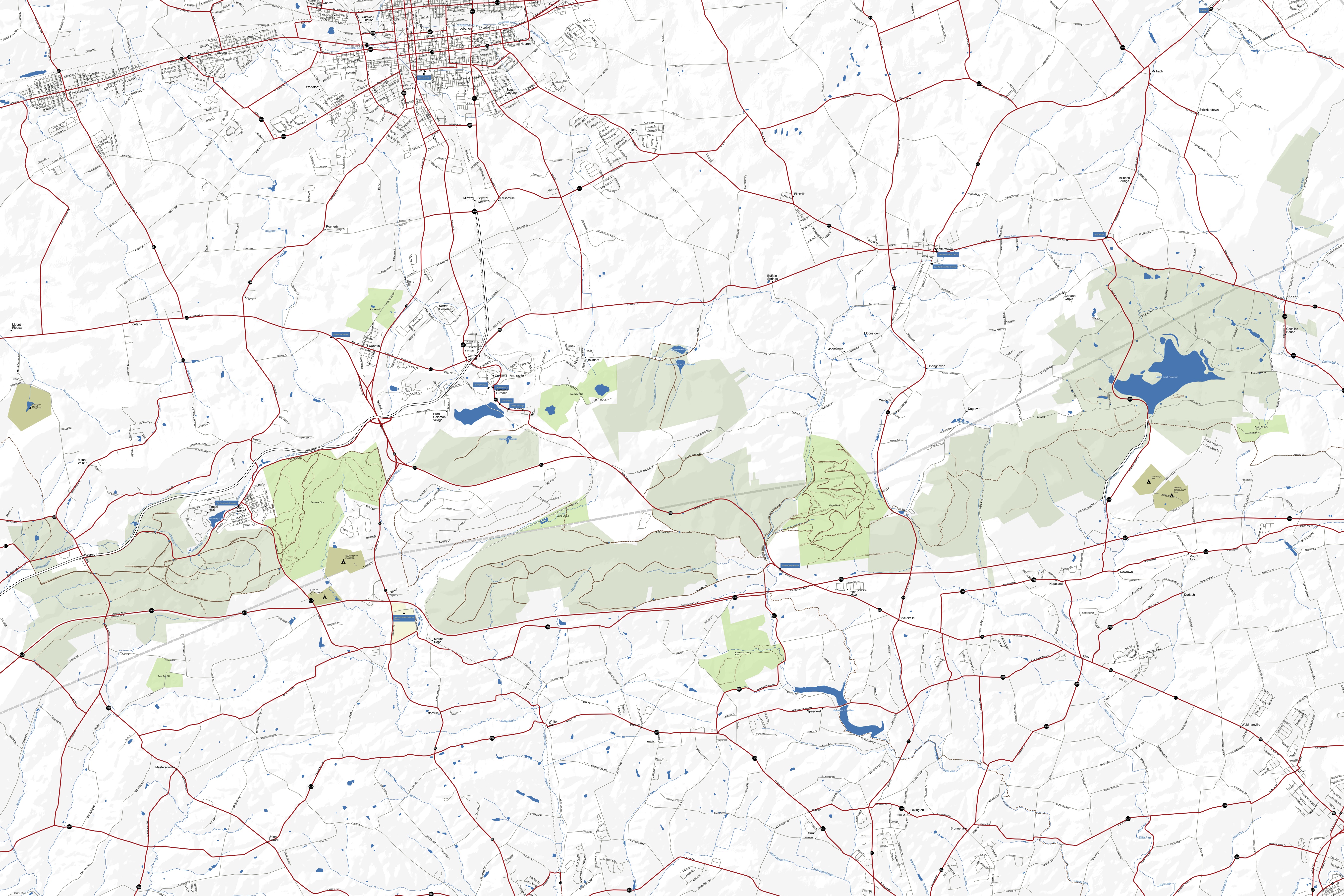
Historical Markers
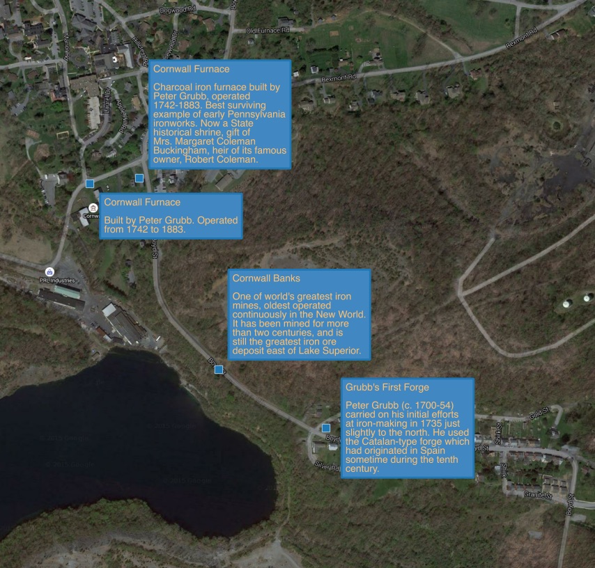
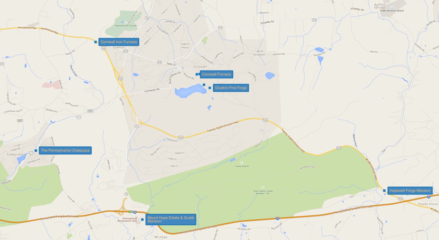
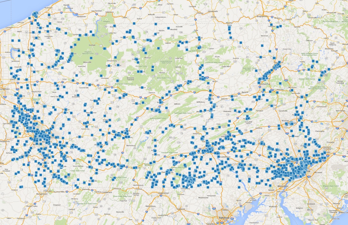
There are a number of historical markers around Cornwall Iron Furnace. I wanted to see whether these were available in a GIS format and discovered the hmdb.org (The Historical Marker Database). They have markers for the whole country in various formats including GPX. This is what it looks like with the excess tags and encoding stripped out, converted to shapefile, and with scale-dependent labels in QGIS. The resulting maps are a super FAST way to learn history in context.
Original Gretna Map
 Made this as a student. Data have improved a lot since then and DVOA’s new orienteering maps also helpful for the details around Governor Dick.
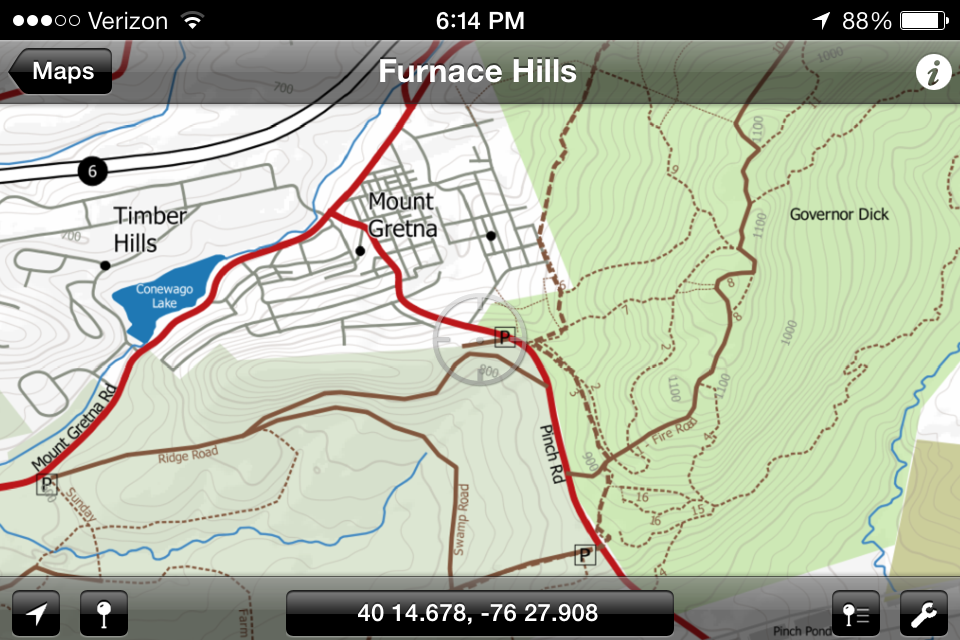
Furnace Hills
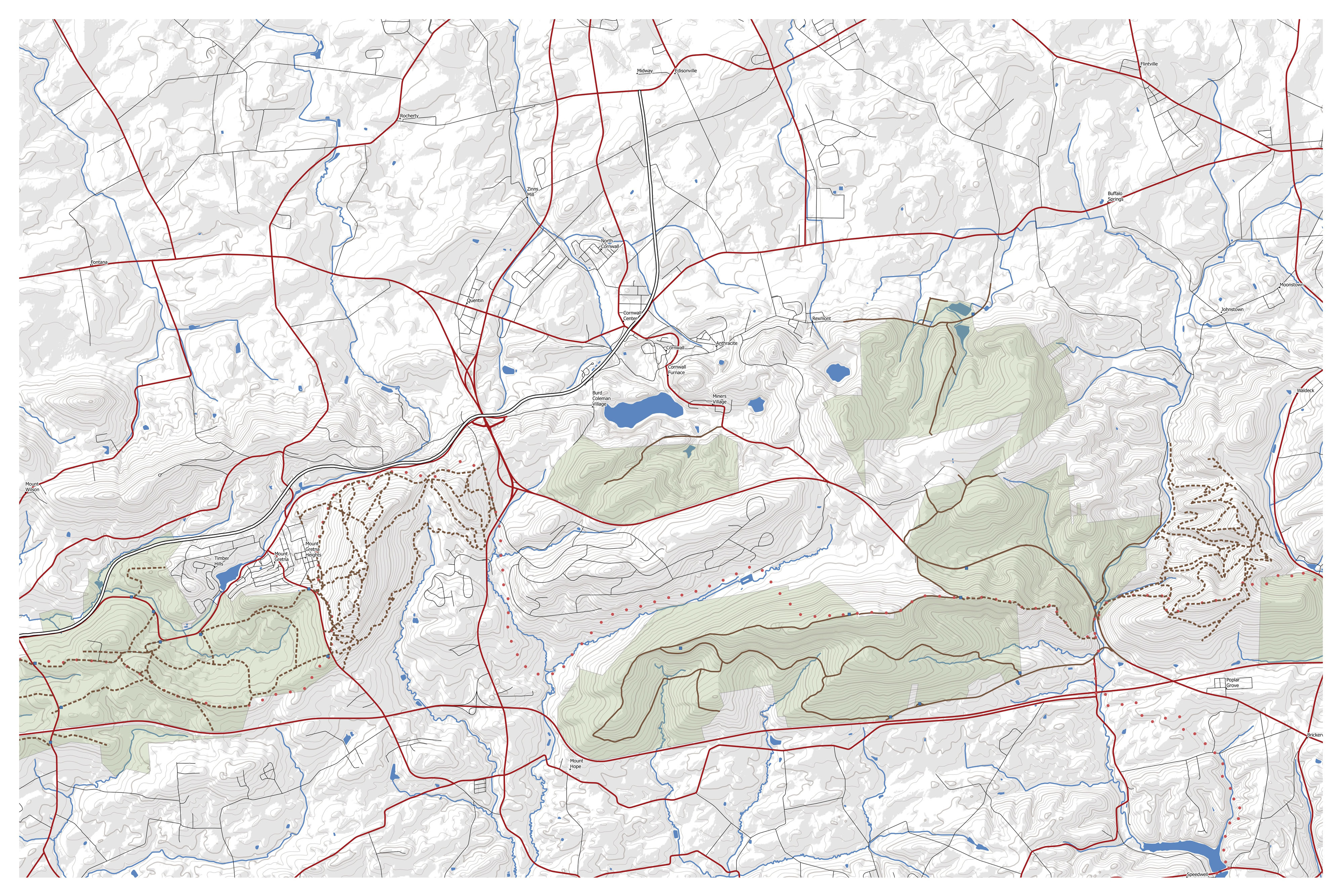 In the process of collecting trail data for a map of the Furnace Hills around Cornwall, PA. Governor Dick, Camp Mack, and many of the State Gamelands roads done. Still need to check sections of the Horse-shoe trail and paths through SGL 145, 156, and 46.